


Innovation and experience
TECNOLOGIES
Grupo SIT uses modern surveying equipment from leading global manufacturers combined with advanced computers and software to support our customers. We are constantly evaluating and investing in our technology to meet the needs of our customers. In Grupo SIT, our goal is to provide the most efficient and cost effective solutions to exceed the expectations of our customers. We not only use cutting-edge technology - we develop innovative solutions for our customers.
UAV MAPPING
Unmanned Flights
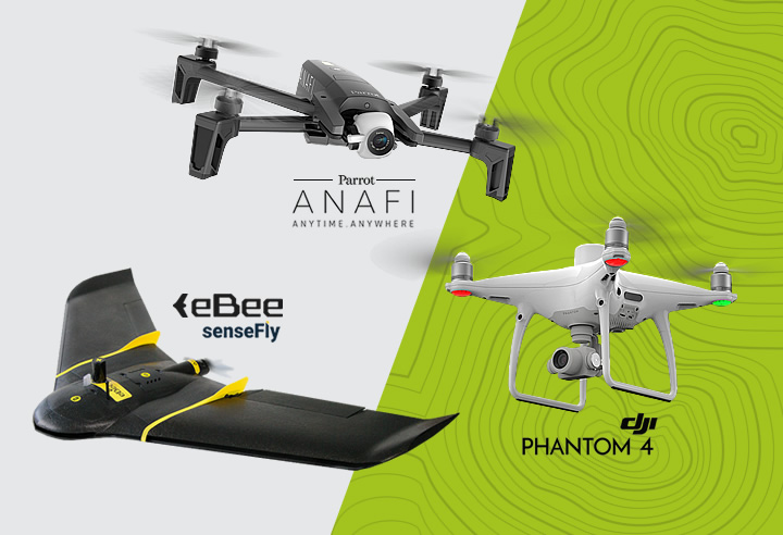
Grupo SIT currently operates fixed wing aircrafts and UAV quadcopters, with the aim of providing our customers with a wide range of support, based on remote sensing and backed by great experience from our Aerophotogrammetry Department. Our UAV technology can deliver high resolution aerial photographs quickly and economically.
APPLICATION AREAS:
- Orthomosaic.
- Digital Terrain Models.
- Site Reports.
- Volume calculations.
- Inspections/Audits.
MOST FREQUENT SERVICES:
- Mapping of roads/pipelines/power lines.
- Mapping of Public and Private Infrastructures (Industries).
- Volumes calculation for Mining Industry and Stock Pile Control for several minerals.
- 3D modeling of surfaces.
- Construction supervision/inspections.
- Remote inspections using high-precision video and photographic cameras.
- Hot spot inspections using thermal cameras.
Laser Tracker systems are leader in terms of accuracy, reliability and durability in the field of portable coordinate measuring machines. Laser tracking systems are highly precise, portable coordinate measuring machines (CMM) that enable manufacturing products, optimizing processes and offering solutions with fast, simple and accurate measurement. These laser tracking systems optimize workflow productivity management in large-scale metrology applications, including, but not limited to, assembly alignment, part inspection, machine installation and alignment, and reverse engineering.
FEATURES
INDUSTRIES WHERE WE OPERATE:
- Aerospace.
- Automotive and Transport.
- Manufacture and machining of large parts.
- Heavy industry.
- Energy generation.
- Steel industry.
MOST FREQUENT SERVICES:
- Inspection of machined parts.
- Participation in the construction and assemblage of large parts.
- Reverse engineering/Data analysis.
- Integration with 3D Graphic Applications.
- Inspection of parts.
- Data analysis and reports.
- Reverse engineering
Bathymetries
with unmanned aquatic vehicles
The unmanned vehicles for Bathymetric studies developed by Grupo SIT provide an effective and safe solution in hydrographic services. These vehicles are equipped with on-board sensors such as echosounder and GNSS system that provide high precision data remotely managed.
MAIN FEATURES:
- Portability: light and small, they can be transported by vehicle to work sites and put them into operation quickly.
- Safety: minimizes the exposure of people in high risk waters.
- Agility: quick access to points of interest, precise maneuvers and accurate efficient area scanning.
- High precision: GNSS and professional echosounder for high precision mapping.
USES:
- Hydrographic surveys of shallow areas.
- Periodic review of underwater infrastructure.
- Monitoring of solid evolution and metric calculations in tailings dams and dumps.
- Hydrographic surveys in inaccessible areas for safety.